Turn Left at the Old Sycamore: The Living Map Nobody Wrote Down
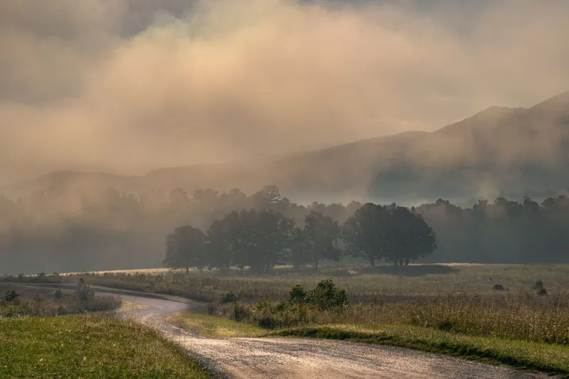
Ask somebody in a mountain hollow how to get to their place and you'll get something that sounds less like directions and more like a short story.
"Go past where the Hensley farm used to be, take the gravel road after the second cattle gate — not the first one, that one'll put you in a field — and then you're looking for a big red barn with a rusted tin roof. We're the third driveway past that."
No street name. No house number. Definitely no ZIP code. And somehow, if you grew up around here, you know exactly where they mean.
The Map That Lives in People's Mouths
Southern Appalachian navigation is a spoken art form, and it has been for generations. Before roads got names — and plenty of them still don't, not really — people found their way by the physical world around them and by the accumulated memory of who lived where and what happened there.
Landmarks do the heavy lifting: a particular rock formation, a bridge that's been replaced twice but still carries the same name, a church that closed in the nineties but whose white steeple still stands. Family names do the rest. "The old Combs place" doesn't need a street address if everyone in a fifteen-mile radius knows the Combs family has held that ridge since before the county had a courthouse.
Carla Sexton, who grew up in a small community outside of Harlan County, Kentucky, and now works as a librarian, puts it plainly. "My grandmother could give you directions to anywhere in that county and she'd never once say a road number. She'd say things like, 'You'll see where they had the wreck back in the winter of '94' — and people knew. That wreck was a landmark for years."
That's the part that surprises outsiders most: the landmarks don't have to still exist. A burned house, a tree that fell in a storm, a store that shuttered before some people giving directions were even born — all of it becomes permanent geography in the spoken map.
When Google Maps Pulls Up Short
The collision between this oral tradition and digital navigation is real, and it plays out daily across the mountains.
Ryan Tolliver moved from Charlotte to a small community in Watauga County, North Carolina, about four years ago. He works remotely and wanted land. What he didn't anticipate was the learning curve of simply getting around.
"I'd ask someone at the hardware store how to find a particular property and they'd give me these incredibly detailed directions, and I'm standing there trying to put it into Google Maps and none of it exists in Google Maps," he says, laughing now in a way that suggests it wasn't always funny. "'Turn at the white house on the corner' — well, there are about eleven white houses on corners between here and there. I got lost a lot that first year."
He's not alone. Real estate agents working mountain counties talk about this constantly. A property listing might carry a county route number, but the actual act of finding it requires local knowledge — or a phone call to someone who has it.
The flip side is that GPS has a genuine failure mode in steep terrain. Dead zones are common. Roads that appear on digital maps don't always match what's on the ground, especially on private or unmaintained routes. In those gaps, the old way still works better.
What Gets Carried in a Landmark
There's something worth sitting with here, beyond the practical inconvenience. When you navigate by landmarks and family names, you're not just moving through space — you're moving through time and community simultaneously.
"Every set of directions is also a little piece of local history," says Dr. Melissa Fain, a folklorist who has spent years documenting oral traditions in Western North Carolina. "When someone says 'the old Ledford place,' they're acknowledging that the Ledfords were there. That matters. It keeps people present in a landscape even after they're gone."
This is different from the anonymizing effect of a numbered grid. A street address tells you almost nothing about a place. A landmark-based direction carries the weight of what happened there, who built what, which family held which ridge. It's geography as genealogy.
For communities that have historically been overlooked by official cartography — and mountain communities absolutely qualify — this kind of self-made, self-maintained mapping has been a form of sovereignty. You knew your place. You could find your people. The grid didn't have to acknowledge you for that to be true.
The New Locals Are Learning
Interestingly, many of the people who've moved into Appalachian communities over the last decade or so are actively trying to learn the old way rather than replace it.
Tolliver says it took him the better part of two years, but he's started to get it. "Now I think in landmarks. I tell people, 'You'll pass a little white church on a curve, and then there's a pull-off where people park to fish — go about a half mile past that.' It actually feels more natural than addresses once you get used to it."
Carla Sexton sees it at the library, too. New residents coming in to research local history are often surprised to find that the most useful documents aren't maps at all — they're oral history recordings, old letters, deed descriptions that use creek names and ridge lines as legal boundaries.
"The land was described in relation to itself," she says. "And people still kind of navigate that way. It never really left."
What We Lose When the Landmarks Go
The concern, of course, is that the landmarks themselves are disappearing. Old barns collapse. Families sell and move away. Churches consolidate. The sycamore gets taken down for a road-widening project.
When those physical anchors vanish, the spoken directions that depended on them become untethered. Younger generations who grew up with GPS may not have absorbed the local geography the same way their grandparents did. The knowledge doesn't always transfer automatically — it has to be taught, practiced, passed along in conversation.
Dr. Fain worries about this, but she's also careful not to romanticize. "These communities are resilient. They've always adapted. The question is whether the adaptation keeps the knowledge alive in some form, or whether it just gets replaced entirely."
For now, at least, the old directions still work. Somewhere in a mountain county right now, someone is telling a newcomer to watch for the gap in the fence line after the second hairpin curve, to look for the mailbox that's been leaning since the snowstorm of 2010, and to not mistake the first driveway for the second one because the first one belongs to the neighbor and he doesn't like surprises.
That's not inefficiency. That's a whole community's memory, still doing its job.