You Don't Need a Map If the Mountain Already Told You
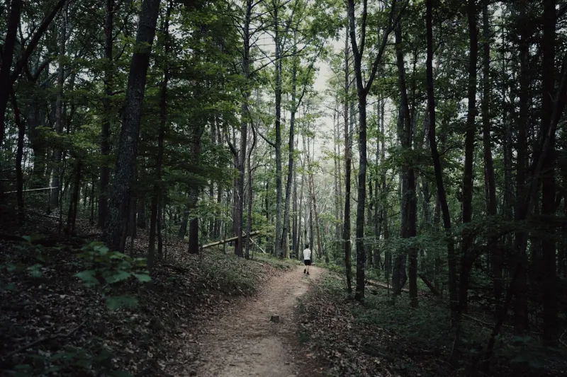
There's a moment — if you've spent enough time with old-timers in these mountains — where you realize they're not giving you directions so much as telling you a story. "Go up past where the Hendersons used to keep their smokehouse, hang left at the big poplar that got struck twice, and when the road starts to smell like iron, you're close." No street names. No mile markers. And somehow, if you grew up here, it makes perfect sense.
This is the Appalachian way of knowing where you are.
The Body Knows the Bend
Ruby Hensley, 74, has lived her whole life on the same stretch of mountainside in Ashe County, North Carolina. She'll tell you she can feel when she's getting close to home — not see it, not recognize a landmark, but feel it. A slight lean in her shoulders. A loosening in her chest. Her daughter, who moved to Asheville for a decade and came back, says the same thing happened to her on the drive up the last ridge. "My body just exhaled."
That's not poetry. Or rather, it's not only poetry. Researchers who study what they call "embodied cognition" — the way knowledge gets stored in the muscles, nerves, and gut as much as the brain — say that people who grow up navigating complex terrain develop spatial intelligence that's genuinely different from folks who learned to read a grid. Appalachian topography is anything but a grid. It folds, drops, doubles back, and hides. Learning it means learning to feel it.
"My granddaddy never once looked lost," says Dillon Prater, 38, of Harlan County, Kentucky. "He'd go quiet, kind of tip his head, and then just start walking. I asked him once how he knew which way. He said, 'The holler tells you if you shut up long enough to hear it.'" Dillon laughs, but he doesn't dismiss it. He does the same thing now.
Landmarks That Don't Exist on Paper
Ask an Appalachian elder for directions and you'll collect a geography that no official map will ever confirm. The lightning-struck chestnut oak. The spring that runs cold even in August. The flat rock where somebody's great-uncle used to nap after plowing. These are the pins on a mental map that gets passed from generation to generation not through instruction but through presence — through being walked alongside someone who points and says, remember this.
That's a form of education that doesn't get graded or certified, but it's education all the same.
Loretta Combs, who grew up in a hollow outside of Whitesburg, Kentucky, can describe every seasonal shift in her family's route to the upper pasture. "In spring, you go by the redbuds — they bloom right at the turn. In summer, you watch for the place the ferns get real thick, that's where the path softens and you have to step careful. Come fall, you follow the smell of the walnut hulls. Winter, you just know, because you've done it every other season."
The route doesn't change. The mountain just tells you where you are in the year.
What GPS Can't Carry
Younger generations are honest about the tension. They grew up with smartphones. They know how to drop a pin. But a lot of them will also admit that something feels different — thinner, somehow — about navigating that way in a place like this.
Tyler Sexton, 26, moved back to his family's land in Watauga County after college. He works remotely now, and his GPS gets him to the grocery store fine. But when he goes out into the woods, he puts the phone away. "Out there, the signal drops anyway. But it's more than that. I don't want to look at a screen. I want to figure out where I am the way my dad figured it out. I'm still learning it, honestly."
His father, Gary, takes him out deliberately. Not on hikes with a destination — on walks where the point is just to pay attention. "I'll stop and ask him, 'Where's the creek from here?' and make him think before he answers. I'm not trying to confuse him. I'm trying to build the map inside him."
That phrase — the map inside him — gets at something real. Appalachian spatial knowledge isn't just practical. It's connective. It ties a person to a specific piece of ground, to the people who walked it before them, and to the seasons that shaped the walking. When you know a mountain that way, you're not just navigating it. You belong to it a little.
The Knowledge That Survives
It would be easy to write this off as nostalgia, to say that GPS is just better and the old ways were quaint. But people who work in search and rescue in these mountains will tell you that the folks who know the land in their bodies — the ones who navigate by creek sound and slope angle and the way a certain ridge smells after rain — are the ones who don't get lost. And when someone does get lost, it's often the locals who find them.
Ruby Hensley puts it plainly. "A map shows you lines. The mountain shows you everything else. You got to decide which one you trust."
There's a generation right now in these hills that's straddling both worlds — the blue dot and the bent poplar, the satellite view and the smell of iron water. The smart ones, the ones paying attention, are collecting both. They're letting their phones do what phones do and letting the mountain do what it's always done.
And when the signal drops — and in Appalachia, it always drops eventually — they know which way to lean.